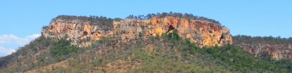
Cania Gorge & National Park covers an area of over 3000 hectares, where visitors can take in the views of the most amazing coloured rock formations. Click here for a copy of the Queensland Governments travel road map.
Bush walks
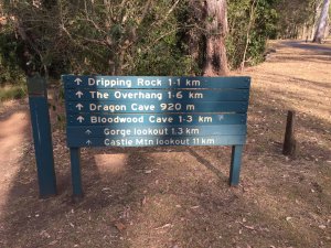
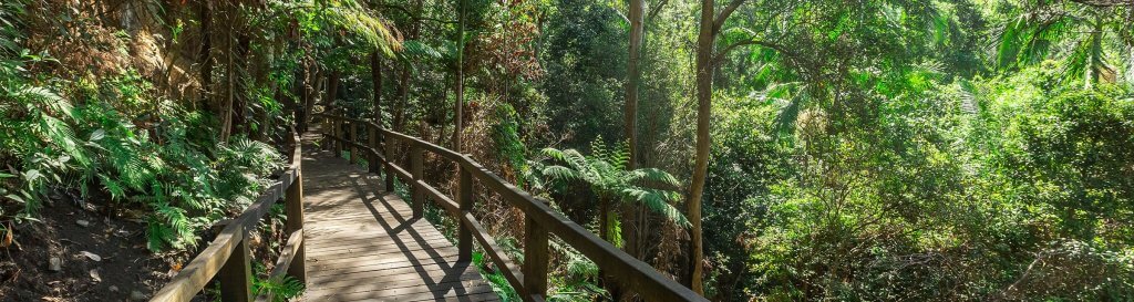
Cania Gorge National Park has many signposted bush walking trails and numerous caves to investigate. Click here for a copy of the Queensland Governments Cania walks. However, some of the more popular trails include:
- Dripping Rock and Overhang Cania – Begin at the Gorge Rest Area for a short 2.2km return trip. Google Maps
- Castle Mountain – This is one of the longer and more challenging walks but upon reaching the summit you will experience amazing picturesque views over the Lake.
- Shamrock Mine Walk – Closer to the site of Lake Cania, will have you travel back to the mining days where you will see the remains of an old battery, mine shafts and mullock heaps.
Cania Gorge History
Aboriginal people occupied Cania Gorge for at least 19,000 years, back to the height of the last Ice Age. As Australia was a much colder and drier during this time it is thought that Aboriginal people may have used gorges, as they offered access to predictable water and food resources.
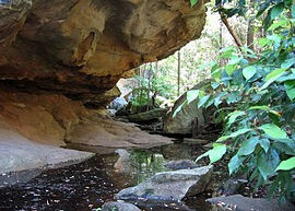
There are nine recorded Aboriginal art sites in Cania Gorge, but these are not accessible to the public. Paintings include handprints and images of animals and their tracks.
The area around Cania Gorge has had a varied history over the past 150 years. Thomas Archer was the first European to explore the headwaters of the Burnett River.
Cania Station was established during the 1850s and ran sheep until 1883, when beef and dairy cattle were introduced.
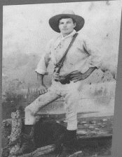
Gold was discovered just to the north of Cania Gorge in 1870 and the township known as ‘Cania Goldfields’ soon sprang up along Three Moon Creek. The township’s population fluctuated over time until mining finally ended in the early 1920s. The waters of Lake Cania eventually covered the remains of the goldfields after Cania Dam was built on Three Moon Creek in the early 1980s. The tops of buildings can still be seen when the dam is low. Last seen in 2010 before the floods of January 2011.
The area in Cania Gorge, east of the picnic ground, became a scenic reserve in 1924, but it was not until 1977 that it was gazetted as a national park. A further addition to the national park was made in 1979, and in 1989 the Francis family, owners of Cania Station, donated the land that comprises the central section of the park.